Independence means freedom
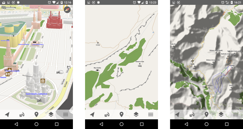
Having personal map server lets me make maps the way I want. Comparing to default MapsForge maps I have added a lot of additional information: peaks, mountain passes, screes, cliffs, cave entrances, glaciers and springs for hiking; fords, power lines, various barriers and ferry routes for navigation; guest houses, camp sites and attraction places for traveling. Also I very much wanted to add heights to 3D buildings, but MapsForge format did not support it. After some consideration I decided to hack it a little bit. But this resulted in lots of amendments to map writer, so I went further and implemented colorful buildings. This feature requires map regeneration. I plan to run it for a hole world in two weeks but for now I have prepared an area for demonstration: open this link in Trekarta and "look" around. By the way, have you already found out how to view map in perspective? If not here is the hint: use two-finger slide.
I have published Beta 2 which fixes some issues I have found recently. Public release is coming!